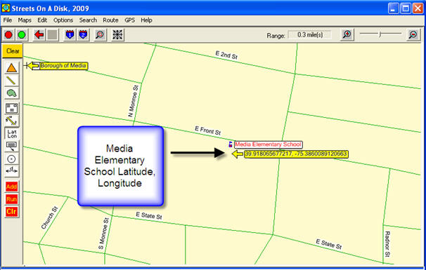
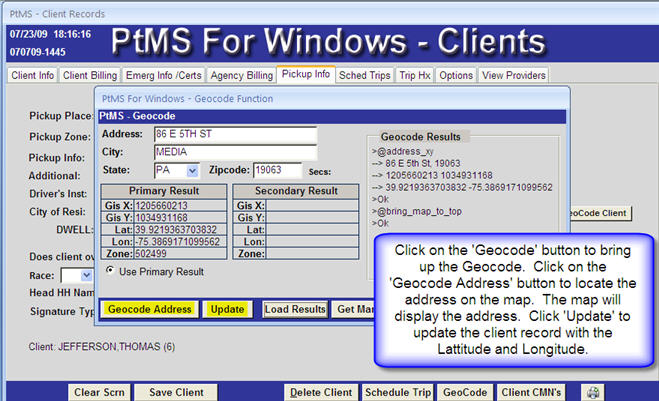
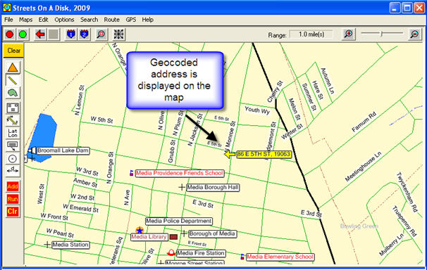
Geocoding is the task of assigning map latitude (x coordinates west-east) and longitude (y coordinates north-south) to each client address and destination address in PtMS.
Each location address is assigned these coordinates.

PtMS assigns these map coordinates to client and destination addresses as new client records or destination records are added to the database. PtMS does support a batch geocoding process as well, however, this is primarily used at start up when converting a user's database to PtMS format. Once this is completed ongoing geocoding should be done as records are entered since it is a fast and simple process to complete.
Geocoding Client Addresses


Geocoding Destination Addresses